Tour description
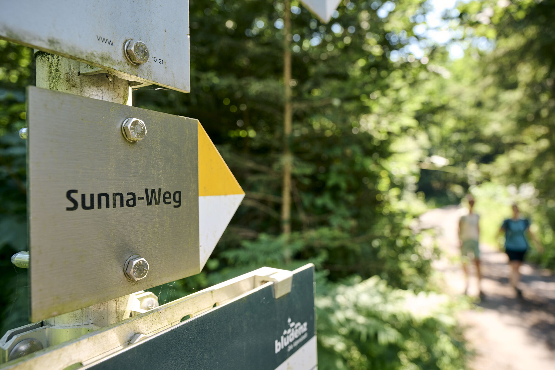
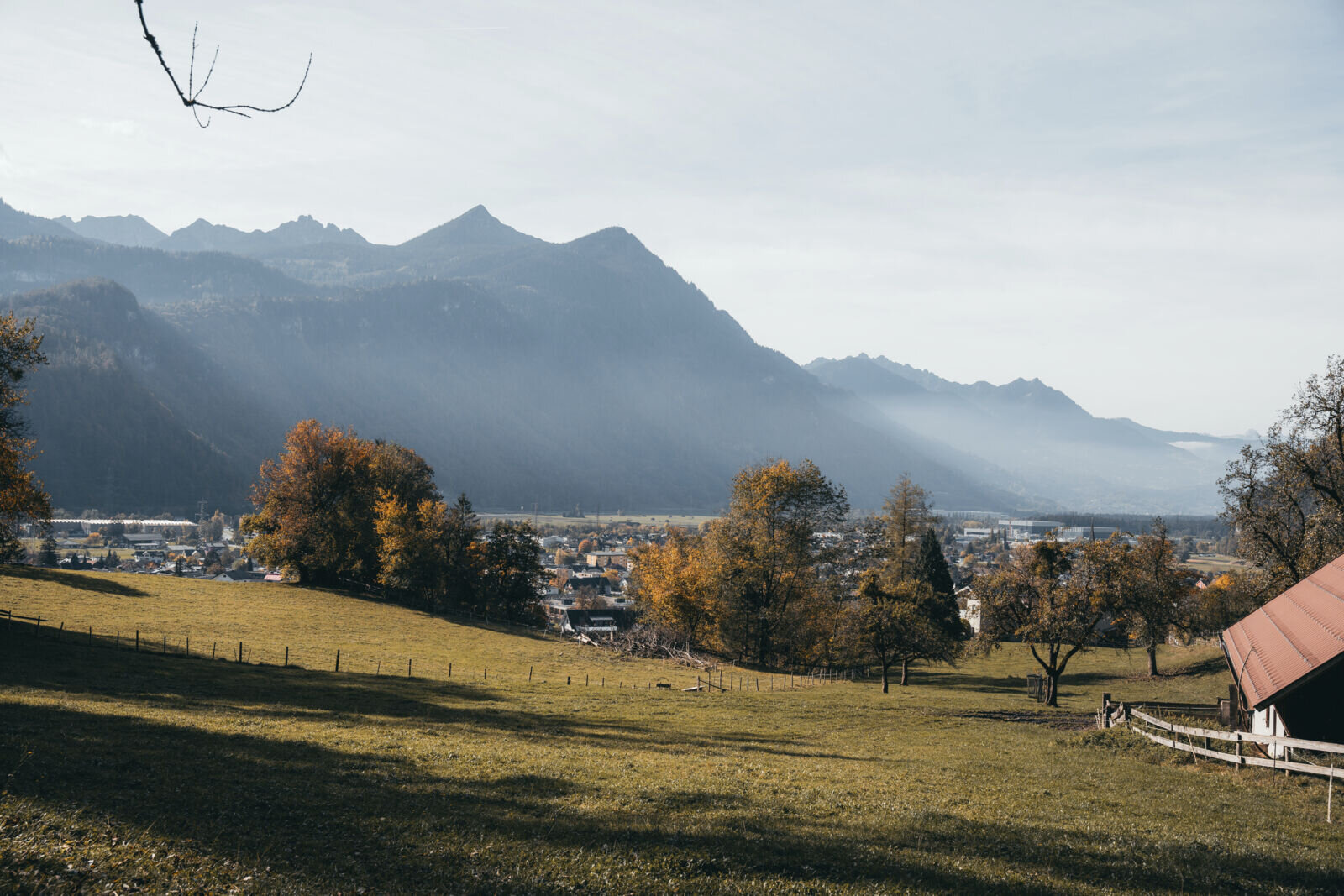
The "Sunna Trail" takes its name from its location on the sunny side of the valley and its course through the Sonnenberg municipality of Nüziders. Nüziders was once the ancestral seat of the county of Sonnenberg. On this hiking trail close to the town, there are 25 information boards with a cultural and historical focus. They also cover landscape, natural history and geological topics. The focus is always on telling stories about people and the landscape.
Stage 1
The tour starts at the Hängender Stein parking lot in Nüziders. From here, walk along the Walgauweg in the direction of Nüziders. After approx. 15-20 minutes you will reach the first houses in the Nüziders municipal area. The path leads through the village for a short distance. At Gasthof Bad Sonnenberg, the trail branches off along a meadow and forest path towards the Sonnenberg ruins (access to the meadow and forest path: a narrow footpath branches off to the right above the parking lot). Alternatively, this section can also be tackled through the village of Nüziders and via the Schloßweg.
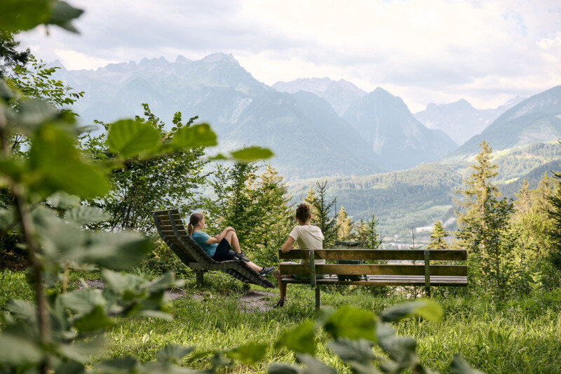
At the end of the Schloßweg, right by the Sonnenberg ruins, both trail options meet again in the "Kälberbünt" district. From here, the trail leads uphill along the forest road. At the next junction with signposts, follow the path towards Kreuzboden, Hinteroferst and Nüziders. From here, continue along forest roads and forest paths. On this section of the trail, you can take short breaks at rest areas with loungers - the "Grafen Känzele" viewpoint is particularly beautiful. The Grafen Känzele is not directly on the trail, but the short detour is definitely worth it - there is also information board no. 5 and a sensational view awaits you.
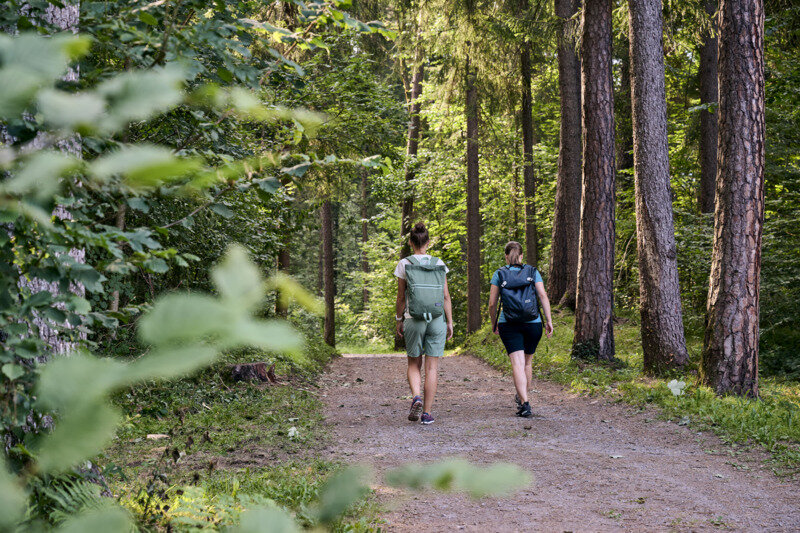
The trail continues along the forest path, past the Maria Brünnele and on towards Bludenz. The last section of the first stage takes you out of the forest across a meadow to the South Tyrolean settlement and on to the Daneu bridge.
Possible access and exit points
- at Gasthof Bad Sonnenberg in the direction of Nüziders municipal office
- at Schloßweg in the direction of Nüziders municipal office
- at the Kreuzboden district in the direction of Nüziders town center
Stage 2
The tour starts at the Daneu bridge in Bludenz. The forest trail starts at the moated castle along the forest nature trail towards Hinterebene. Along the way you always have the opportunity to take a short break or enjoy the sensational views of Bludenz. There is a large rest area and several viewpoints on the Hinterebene. From here, follow the forest path towards Rungelin. Above Rungelin - at Hellwald - the path branches off towards Rungelin and you reach the end point of the second stage.
Possible ascents and descents
- shortly before Hinterebene in the direction of Montikel/town center
- shortly before Hinterebene in the direction of Montikel/Freizeitbad Val Blu
- at the Ferdinand-Gassner-Höhenweg in the direction of Halde/Freizeitbad Val Blu
Stage 3
The tour starts in Rungelin or above Rungelin near Hellwald. From Hellwald, the hiking trail leads via Gastastiegele - past the Klangraststätte - to Grubs. At Grubs, cross the Grubs ravine and continue along the hiking trail to the Allmakreuz. Here you can make a short detour to Allmeintobel or take the footpath past Winkel in the direction of Reckholder and from there descend via the road to the end point at the TRAUBE BRAZ Alpen.Spa.Golf.Hotel.
Possible ascents and descents
- at Grubser Tobel in the direction of Radin